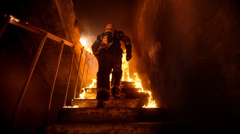
In the U.S. alone, approximately 80 to 100 firefighters are lost in the line of duty each year according to the National Institute for Occupational Safety and Health. More than 50,000 are injured according to the National Fire Protection Association. Countless others risk their lives every day to serve and protect our communities. Because of these alarming statistics, the Department of Homeland Security (DHS) Science and Technology Directorate (S&T) joined forces with NASA’s Jet Propulsion Laboratory (NASA JPL) to develop critical technology that will allow first responders to more accurately locate their team members in burning buildings.
Last month, S&T and NASA JPL successfully tested the Precision Outdoor and Indoor Navigation and Tracking for Emergency Responders (POINTER) technology at the Veteran’s Affairs Greater Los Angeles Healthcare System. During the demonstration, multiple POINTER devices were evaluated with members of S&T’s First Responder Resource Group and industry partner Balboa Geolocation Inc. to ensure that they met first responder requirements. The tests, conducted as a first step prior to operational field testing with several fire response agencies across the country throughout 2021, focused on POINTER’s tracking, visualization, and data collection capabilities, component. A commercial product is projected to be available in early 2022.
“There are currently no commercialized tracking devices like POINTER on the market,” said S&T First Responder Portfolio Director Greg Price. “This device goes far beyond GPS capabilities to give first responder teams more accurate guidance in locating their colleagues in emergency scenarios.”
Here are some initial findings from the recent testing:
- POINTER command station, transmitters, and receivers were deployed in a 5-level, 8,000 sq. foot structure meant to represent a residential home. The system tracked multiple first responders from a standoff distance of up to 70 meters.
- POINTER was able to accurately locate the responders in 3D within 1 meter—in many cases, within just centimeters—throughout all levels of the building.
- The receiver technology worn by first responders has been updated to the size of a cell phone, powered by a small rechargeable lithium battery and weighing just ounces.
Many existing tracking technologies use GPS, Ultra-Wideband, or other identification methods that rely solely on radio position location—these can suffer reduced performance in non-line-of-sight and indoor environments. POINTER, on the other hand, uses magnetoquasistatic fields to three-dimensionally orient and track responders in emergency settings, helping incident command pinpoint their location within one meter. This is critically important, especially when visibility is low due to heavy smoke, debris, or obstructions. Maintaining this degree of situational awareness not only enhances real-time response efforts but also saves valuable time when a responder is injured or lost.
“Responders have told us that tracking technology is their number one priority,” said Price. “This never-seen before POINTER technology will soon change the way firefighters experience and overcome the challenges they face.”


